World History & Culture

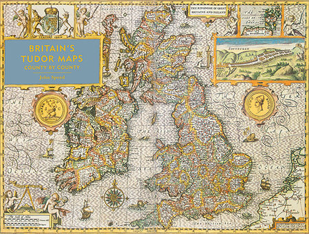
Britain's Tudor Maps: County By County

A stunning new edition of the earliest atlas of the British Isles.

Britain’s Tudor Maps: County by County reproduces the maps of John Speed’s 1611 collection The Theatre of Great Britaine in large, easy-to-read format for the first time. Compiled from 1596, these richly detailed maps show each county of Great Britain individually and as they existed at the time, complete with a wealth of heraldic decoration, illustrations and royal portraits.

With an introduction by the bestselling author Nigel Nicholson, each map is presented alongside a fascinating commentary by Alasdair Hawkyard, elaborating on both the topographical features and the social conditions of each county at the time, enabling an examination of how the physical and social landscape has been transformed over time.

About The Author

John Speed (1552-1629) was a cartographer and antiquarian who began illustrating his individual maps in the late 16th century and published the collection The Theatre of the Empire of Great Britaine in 1611-1612. Nigel Nicholson is a former MP and publisher and has written several books including Great Houses of Britain, Lord of the Isles and Portrait of a Marriage. Alasdair Hawkyard is an authority on the art, architecture and social history of the late medieval and early modern periods. His work has been published in many historical and academic works, including Castles: a History and Guide and The History of Parliament: the House of Commons 1509-1558.

  • Publish Date: October 13, 2016
  • Format: Hardcover
  • Category: History - Europe - Great Britain - General
  • Publisher: Batsford
  • Trim Size: 15-3/4 x 12
  • Pages: 160
  • US Price: $34.95
  • CDN Price: $38.95
  • ISBN: 978-1-84994-384-0